Wayvz
Know before you go. Offline depth maps for Lake Powell, recolored to today's water level.
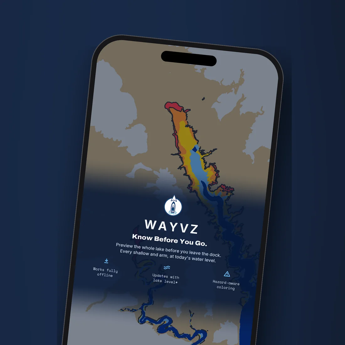
- The whole lake colored by depth — deep water is blue, and the shallower it gets the warmer the color, through yellow and orange to red
- Recolors itself to the day's official lake level, so the shoreline you see is today's, not last year's
- Works with no signal — the lakebed ships inside the app as vector tiles
- Pro adds your boat to the map — live GPS position, a course-up camera that follows you, saved pins, and a warning when the GPS gets weak
- Collects no data — the App Store privacy label reads "Data Not Collected"
Free on the App Store. Pro is an optional $29.99-a-year subscription, billed by Apple and managed from your Apple ID like any other. Needs iOS 17.6 or later.
Depth you can trust at a glance.
Wayvz reads one number a day — the lake level — and recolors the whole map around it. No downloads on the water, no clutter, no guesswork about what's below.
One number a day.
Lake Powell rises and falls, and a chart that doesn't know today's level is a chart of a different lake. Wayvz pulls the day's official USGS level and recolors the shoreline to match, so the map is current, not a snapshot.
Depth is simply level minus lakebed. Every foot of bottom gets the color that matches how much water is over it right now: blue is deep, yellow and orange mean it's getting shallow, red is shallow enough to matter.
Works where there's no signal.
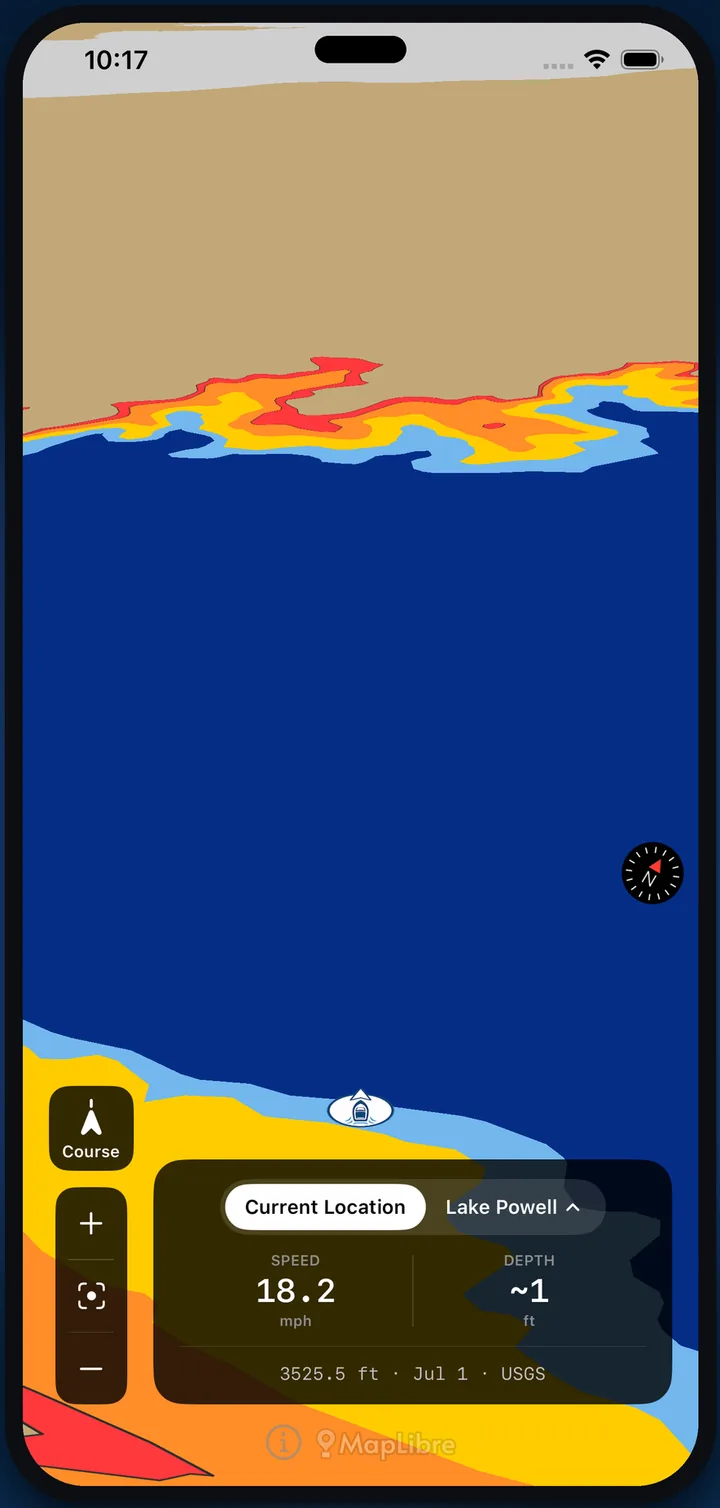
There's no coverage on most of the lake, so the lakebed ships inside the app as vector tiles. Out in the canyons with no bars, the map still knows exactly where the bottom is — dam to Hite, every arm.
The only thing that needs a connection is the day's level. The app grabs it when it can, tells you how old the level it's using is, and lets you set it by hand to the current published number when you're already out.
A guide, not a replacement for your own eyes.
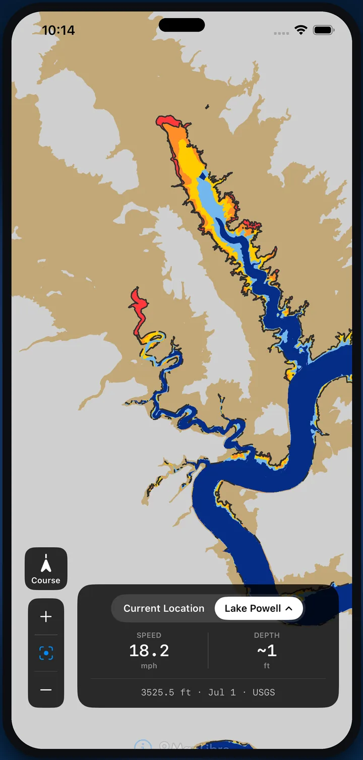
Most chartplotters bury depth under menus, layers, and clutter. Wayvz does one job — shows how much water is under the boat — and gets out of the way. Land is flat and neutral; color is reserved for depth.
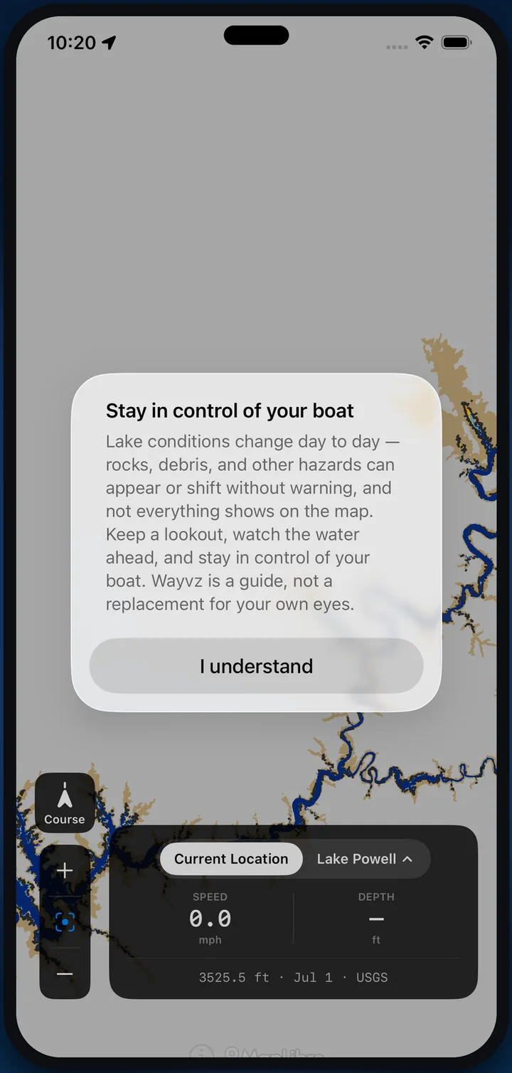
Depths are estimates and can be wrong. Rocks, debris, and sandbars shift, and not everything shows on a map. Wayvz is a supplemental awareness tool, not primary navigation. Keep a lookout and stay in control of your boat.
Built for the water, not the showroom.
Fully offline
The Lake Powell lakebed is built into the app. Load it once at home; it works all the way up-lake.
Daily lake level
Pulled from USGS data each day, or set by hand to the current published level.
Hazard-aware coloring
Shallow water warms from yellow to red the closer it gets to the bottom, so the edges jump out.
Shows staleness
When the level it's using is old, the app says so instead of pretending it's current.
No data collected
No account, no tracking. The App Store privacy label reads "Data Not Collected."
Your boat on the map (Pro)
Live GPS position with the depth under you, a course-up camera that follows, pins, and weak-GPS warnings.
What's free, and what Pro adds.
Pro is a subscription through Apple. Start it from the app, cancel anytime in your Apple ID settings.
The whole lake, at today's level, with no signal.
- Every arm, canyon, and shallow of Lake Powell, colored by depth
- Recolored each day to the official USGS lake level
- Full offline use — the lakebed is inside the app
- A staleness indicator when the level it's using is old
- No account, no tracking
Your boat on the map.
- Live GPS boat position, with the depth under you
- Course-up view and a camera that follows the boat
- Pan ahead to scout, then recenter on the boat
- Drop and save pins
- Warnings when the GPS signal is weak
- Future lakes and features as they ship
Billed by Apple. Cancel anytime.
Questions boaters ask.
Which lakes does Wayvz cover?
Does it really work with no signal?
How accurate is the depth?
What's free and what's Pro?
Which devices does it run on?
What data does Wayvz collect?
Who makes it?
Know before you go.
The whole lake at today's water level, with no signal. Load it before you leave the dock.
Download on the App StoreSupplemental — not for primary navigation. Depth estimates can be wrong; stay in control of your boat.